The Earth Archive is a scientific and educational nonprofit
organization (501(c)(3) with the broad vision
of creating a digital planet for future generations.

It is the mission, duty, and purpose of the Earth Archive (EA) to address, educate, coordinate, and provide the funding and resources as part of an international effort to create a 3D digital Earth to provide a comprehensive baseline database of the Planet’s surface, and everything on it, at a high resolution to provide solutions for populations at risk. The ultimate vision is to create a digital planet as a gift for future generations that will serve as a baseline for both climate change mitigation and migration efforts on a local and global level.

The EA will closely adhere to the four following core values:

  • To honor future generations with a digital baseline archive of Earth
  • To respect and acknowledge both the equity and ethical challenges of remote scanning and be a leader in staging conversations and setting best practices for all
  • To get this done as rapidly as possible and then scale the distribution of the data to the most in need countries and people on the planet
  • To increase resources to localized solutions applying the data for systemic changes to support both Earth and people
about

Our rapidly changing earth presents a grand challenge for humanity and there is an urgent need to digitally capture the planet’s surface, providing a legacy for future generations, and as a critical baseline for measuring sustainability efforts including carbon offsets. Airborne light detection and ranging (LiDAR), which involves firing a dense grid of infrared beams to the ground from an aircraft, is the ultimate conservation tool that allows us to digitize the Earth.

The EA is an international effort to LiDAR scan the entire land mass of the planet (29.2%) to create a 3D digital Earth. The goal is to provide a comprehensive baseline database of the Earth’s surface and everything on it, at a high resolution-- and help provide solutions for populations at the greatest risk.

All data collected and collated by the EA will be archived in an online platform with access provided to the public, science, and industry and will follow five basic data protocols:

  • To encourage the research and publication of the archive data and the many applications for improving climate related challenges
  • To provide for the wide dissemination of information about climate change impacts in real time with relevant and necessary baseline data
  • To provide a location for the collection and preservation of a digital planet, information, and applications for impact
  • And to exhibit this material electronically through a virtual archive on the world wide web. The Earth Archive will store the LiDAR data in an open source online archive to encourage the use by educational institutions, environmental and conservation groups, botanists, fire prevention efforts, and climate change efforts both for carbon offsets and human climate migration.
  • The Earth Archive will also promote ethical practices within the LiDAR and remote scanning community by establishing standards for the release of data in ways that respect the sovereignty of indigeous people and local communities, cultural traditions and promote a respect for people through standardizing the practices for the LiDAR community.

Meet our Leadership Team
avater
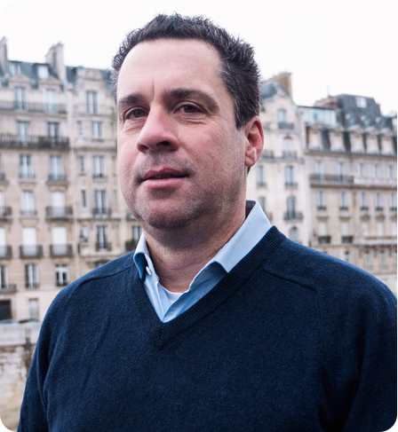
  • Dr. Chris Fisher is an archaeologist, National Geographic Explorer, and Professor of Anthropology at Colorado State University. Chris has performed fieldwork throughout Latin America, Europe, and North America. His work is featured in the New York Times Bestselling Book, The Lost City of the Monkey God by Douglas Preston. He founded the Earth Archive out of his experiences using remote sensing technologies in Mexico & Honduras to better understand the causes and consequences of urbanism and environmental change.

Dr. Chris Fisher

Founder/Director

avater
  • Dr. Stephen Leisz is a geographer & Associate Professor at Colorado State University. His research uses LiDAR, medium and high resolution satellite imagery, and derived digital elevation models integrated with archaeological fieldwork to investigate the drivers of land change. Dr. Leisz’s work has been funded by the NASA Space Archaeology program and the National Science Foundation.

Dr. Stephen Leisz

Co-Director

Meet our Advisory Board
avater
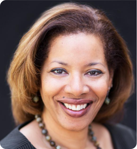
  • Cheryl Ginyard-Jones Is the Head of Energy Transition and Digital for the Americas At Worley. Cheryl has a passion for utilizing disruptive technologies to transform traditional business models. She has extensive experience in leading strategy, operations, business development, and finance serving multiple industries including Oil and Gas, Chemicals, Industrial Products, and Information Technology. She currently also serves as Managing Director at ECIT Group LLC

Cheryl Ginyard-Jones

Advisory Board

avater
  • Ron Chapple has over 30 years flying in helicopters creating images, video, and LiDAR. As founder of GEO1 and Aerial Filmworks, Ron continually invests in new technology, and explores the optimal methodology for processing and analyzing remote sensing data. Ron has won an Emmy Award for his aerial work on a PBS series, contributed artwork to the permanent collection of the Los Angeles County Museum, and shared a Pulitzer Prize for a multi-disciplinary video and LiDAR project with USA Today.

Ron Chapple

Advisory Board

avater
  • Is an American journalist and author. Although he is best known for his thrillers in collaboration with Lincoln Child (including the Agent Pendergast series and Gideon Crew series), he has also written six solo novels, including the Wyman Ford series and a novel entitled Jennie, which was made into a movie by Disney, and the Lost City of the Monkey God. He has authored a half-dozen non-fiction books on science and exploration and writes occasionally for The New Yorker, Smithsonian, and other magazines.

Douglas Preston

Advisory Board

avater
  • Will is an internationally recognized thought leader on water strategy and innovation. He has authored numerous books and articles and presented on: the value of water, innovations in digital water technology, the circular economy, and the energy-water-food nexus. Prior to Water Foundry Will was a Managing Director at Deloitte Consulting and founded and led the water strategy practice. He was the founder and CEO of DOMANI, a sustainability strategy firm.

William Sarni

Advisory Board

avater
  • Peter is a technology entrepreneur with 2 successful exits. He has been in the mapping industry for 16 years and has managed large scale mapping projects for the largest technology company in the world as Program Director. Previously he was CEO and founder of Navmii a navigation and mapping company with over 30million users that mapped 180 countries. Prior to this he grew his previous company DataArt, to over 500 people before exiting. Peter has a degree in Applied Physics from NTU.

Peter Atalla

Advisory Board

Meet our Regional Coordinators
avater
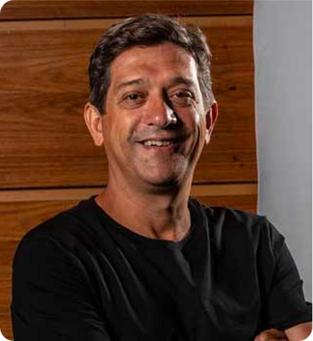
  • Eduardo Góes Neves, is a Professor of Archaeology at the University of São Paulo, Brazil. He received a BA in History at the University of São Paulo and a MA and PhD in Anthropology at Indiana University. From 1995 to 2010, Eduardo directed the Central Amazon Project in the Brazilian Amazon. He is a past president of the Brazilian Archaeological Society, a former member of the Board of Directors of the Society of American Archaeology, and has been visiting professor in several universities in the Americas and Europe.

Dr. Eduardo Góes-Neves - Brazil

Regional Coordinators
avater
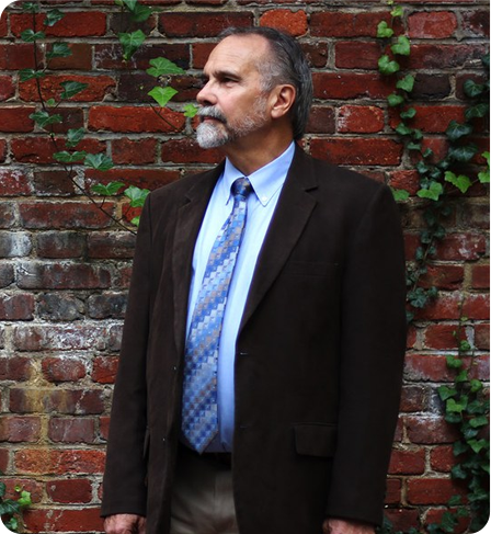
  • James A. Zeidler, Ph.D., is an Emeritus Research Scientist at Colorado State University. His principal interests lie in South American prehistory and ethnography, with special emphasis on the archaeology of coastal Ecuador. His current archaeological research focuses on the Jama River Valley of northern Manabí Province where he has documented a long stratigraphic record of human settlement spanning from Formative Period times through a long tradition of Jama-Coaque culture extending up to the Spanish Conquest.

Dr. James Zeidler – Ecuador

Regional Coordinators
avater
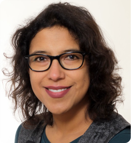
  • Is a lecturer at the Department for the Anthropology of the Americas. Rheinische Friedrich-Wilhelms-Universität Bonn, Germany. My research is focused on complex societies of the southwest Amazon, expansion and ethnogenesis processes in the southern lowlands of South America, and cultural heritage. I defined the Ceramic Sequence and functional Differences of ceramics from the monumental mounds and Iténez Region, Border Bolivia / Brazil.

Dr. Carla Jaimes Betancourt – Bolivia

Regional Coordinators
avater
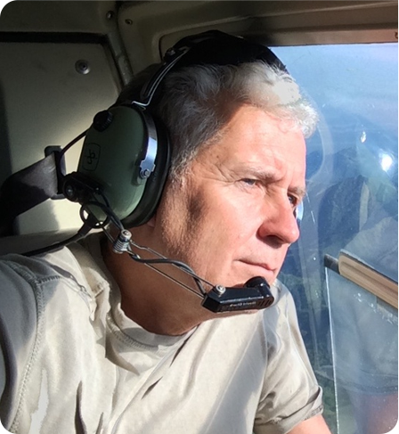
  • is an entrepreneur, tech enthusiast, photographer, and conservationist Francisco is the founder and director of Fundación Ecoplanet whose mission is to understand and preserve the natural environments of Colombia. Francisco is also the producer and director of the widely acclaimed film ‘Colombia: Wild Magic and has worked for several years in and around Chiribiquete Park documenting natural landscapes and rock art.

Francisco Forero-Bonell – Colombia

Regional Coordinators
avater
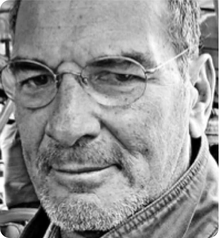
  • Is an archaeologist at the Universidad Nacional Mayor de San Marcos, Lima, specializing in landscape, environment and heritage issues. He is currently director of the Andean Landscape Observatory. He participated in various archaeological research projects in the coast, mountains and jungle of Peru and in the development of management plans (Kuelap and surroundings, 2006; Chankillo, 2017) for World Heritage. He also Coordinated the formulation of the Archaeological Reserves for Nasca and Palpa.

Dr. Aldo Bolaños – Peru

Regional Coordinators
avater
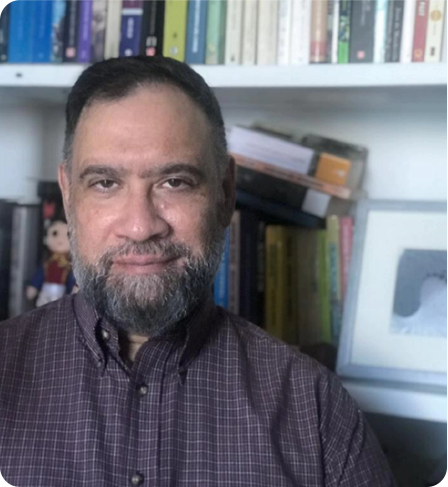
  • Is an archaeologist who obtained a Doctor of Philosophy degree (1998) from the University of Pittsburgh, Pennsylvania, USA His research interests include sociocultural change, historical ecology and ethnohistory of the lowlands of South America; Theory and History of Anthropology, Great History, Community Archeology, and Museography.

Dr. Rafael Angel Gassón– Venezuela

Regional Coordinators
avater
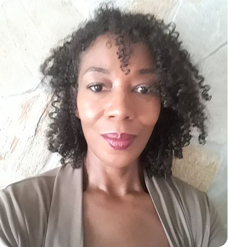
  • Dr. Cheryl White is a Senior Lecturer at the Anton de Kom University of Suriname, Faculty of Humanities, where she is the founder and coordinator of archaeology. She received her MA and PhD from the University of Florida and is a US Department of State Fulbright Alum. She is an advisor to the Government of Suriname’s Archaeological Services, and guides on matters concerning academic research and private sector archaeological impact assessments. Her long-term research interests are mobility, sedentism, settlement patterns and (im)materialities of the African Diaspora as expressed in the Maroon landscape and plantation archaeology.

Dr. Cheryl White– Suriname

Regional Coordinators